← The two programmes

First-level University Master’s Programme · First edition · Academic Year 2026/2027

GeoAI, GIS e Applicazioni Geospaziali

Turn your degree into skills sought by the labour market: learn to manage geodata, use GIS and surveying tools, and apply artificial intelligence to territorial challenges.

Edition First
Delivery mode Online
Credits 60 CFU
Teaching hours 312 hours
Places 10–35
Tuition fee € 4.000
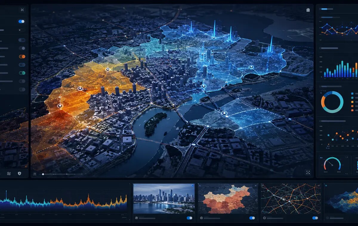
WebGIS dashboard for territorial analysis
From data to operational maps Learn to build geospatial analyses, services and applications.
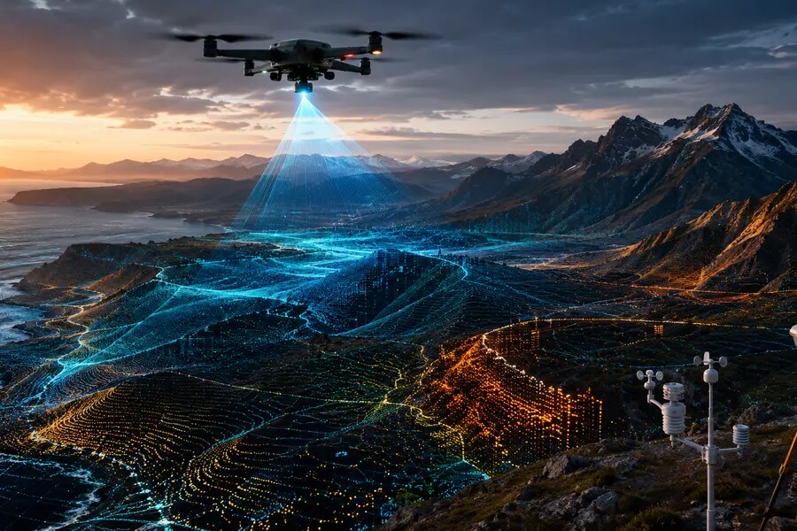
Territorial surveying with drones, LiDAR and sensors
Capture territorial data Drones, GNSS, LiDAR and sensors.

Programme overview

Specific learning objectives

GeoAI, or Geospatial Artificial Intelligence, integrates artificial intelligence, machine learning, geographic information systems and geospatial data. The Master di primo livello in GeoAI, GIS e Applicazioni Geospaziali (first-level University Master’s Programme in GeoAI, GIS and Geospatial Applications) is intended for bachelor’s graduates, professionals and technicians seeking progressive skills in the management, analysis, acquisition and interpretation of territorial data.

The curriculum guides students from GIS fundamentals to the application of advanced GeoAI tools and the analysis of real cases. Its four-module structure makes the educational offer clear, distinguishes the successive learning levels and emphasises the programme’s applied and technical components.

The GeoAI Master’s Programme builds on the Department of Science’s many years of experience in postgraduate education in GIS and technologies for territorial analysis. The programme has been reorganised as a Master di I livello (first-level University Master’s Programme), open to bachelor’s and master’s graduates, with the aim of providing a progressive, clear and professionally oriented learning path.

The curriculum comprises four teaching modules.

Module 1 — Introduction to GIS and geospatial data fundamentals

This introductory module establishes the shared language required by all participants. It covers the fundamentals of digital cartography, geospatial data management, leading GIS software, geodatabases and cartographic representation tools.

Module 2 — Advanced GIS, programming and automation

This module explores GIS as a technical and methodological environment for professional territorial analysis. It includes advanced spatial analysis, Python programming for GIS, workflow automation, interoperable geospatial services and data quality.

Module 3 — Fundamentals of AI and GeoAI

This module introduces the principles of artificial intelligence applied to geospatial data. It covers machine learning, deep learning, satellite imagery analysis, GeoAI, prompting and applied laboratories using AI models in GIS environments.

Module 4 — Instrumentation, data acquisition and case studies

This final module integrates and applies the knowledge acquired. It covers tools for territorial data acquisition and monitoring—drones, GPS/GNSS, IoT sensors and laser scanners—and applied case studies in environment, risk, planning, infrastructure and cultural heritage. Theory is translated into practical cases and operational scenarios.

The programme trains professionals to organise and analyse geodata, use commercial and open-source GIS tools, programme and automate processes, integrate data from sensors and surveys, and apply GeoAI tools to real decision-support problems.

Upon successful completion, participants receive

  • First-level University Master’s Diploma
  • Certificate of attendance
  • Syllabus of the core courses and modules attended

Skills developed

Technical and professional skills covered by the programme

  • Use of commercial and open-source GIS software to manage and analyse geospatial data.
  • Organisation of geodatabases and use of interoperable standards and services.
  • Advanced spatial analysis and geoprocessing.
  • Python programming for GIS and workflow automation.
  • Use of drones, GPS/GNSS, IoT sensors and laser scanners for territorial data acquisition and monitoring.
  • Introduction to machine learning, deep learning and prompt engineering applied to geodata.
  • Integration of satellite data, field data, monitoring networks and GIS platforms.
  • Analysis, design and development of GeoAI case studies in different application fields.

Curriculum

Four modules · 60 CFU · 312 hours

The Master di I livello in GeoAI, GIS e Applicazioni Geospaziali is organised into four teaching modules, for a total of 60 CFU including the final examination. The curriculum progressively guides students from GIS fundamentals to the integrated application of GeoAI tools in real settings. It provides 312 hours of lectures and laboratory teaching.

Module 1Introduction to GIS and geospatial data fundamentals 10 CFU · 72 hours

Learning objective: provide the fundamental skills required to understand, manage and represent geographic data, establishing a common foundation for students from different disciplinary backgrounds.

  • Fundamentals of digital cartography and GIS — 2 CFU, 16 hours
  • GIS software: QGIS and basic ArcGIS — 2 CFU, 16 hours
  • Geodatabases and geospatial data structures — 2 CFU, 16 hours
  • WebGIS and basic cartographic visualisation — 2 CFU, 12 hours
  • Assessment, exercises and guided activities — 2 CFU, 12 hours
Module 2Advanced GIS, programming and automation 12 CFU · 88 hours

Learning objective: develop specialist skills in spatial analysis, programming in GIS environments and the automation of territorial data-processing workflows.

  • Advanced spatial analysis and geoprocessing — 2,5 CFU, 20 hours
  • Python programming for GIS and geodata — 3 CFU, 24 hours
  • GIS workflow automation and geospatial web services — 2,5 CFU, 20 hours
  • Standards, interoperability and data quality — 2 CFU, 12 hours
  • Assessment, exercises and guided activities — 2 CFU, 12 hours
Module 3Fundamentals of AI and GeoAI 9 CFU · 68 hours

Learning objective: introduce the principles of artificial intelligence applied to geodata and develop theoretical and practical skills in the use of GeoAI within GIS environments.

  • Fundamentals of artificial intelligence and machine learning for geodata — 2,5 CFU, 20 hours
  • GeoAI applied to remote sensing and satellite analysis — 2,5 CFU, 20 hours
  • Prompt engineering and conversational AI for GIS — 2 CFU, 16 hours
  • Assessment, exercises and guided activities — 2 CFU, 12 hours
Module 4Instrumentation, data acquisition and case studies 9 CFU · 68 hours

Learning objective: consolidate learning through the use of territorial data-acquisition and monitoring tools and through case studies that apply the theoretical knowledge developed during the programme.

  • Acquisition and monitoring tools: drones, GPS/GNSS, IoT sensors and laser scanners — 2,5 CFU, 20 hours
  • Integration of field data into GIS and GeoAI workflows — 2 CFU, 16 hours
  • GeoAI case studies and sector-specific applications — 2,5 CFU, 20 hours
  • Assessment, exercises and guided activities — 2 CFU, 12 hours
Specialist seminars 2 CFU · 16 hours
Final examination — GeoAI Project 18 CFU

Professional relationships

Connections with the GeoAI network

The programme helps students connect with companies, public bodies and research institutions in the GeoAI network. These relationships may foster dialogue, mutual knowledge and professional collaboration, depending on the interest of the organisations involved, but they do not constitute internships or placements included in the official programme.

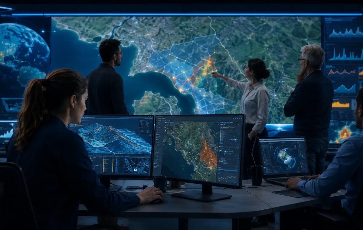
Professional work and collaboration on geospatial data

From education to professional relationships

An opportunity to meet companies, public bodies and institutions working in GIS, GeoAI, territorial monitoring and geospatial innovation, and to engage with real experiences, technologies and challenges.

Discover companies and organisations in the network →

Admissions

Requirements, selection and prior knowledge

Application deadline: 15 January 2027. Applications must be submitted through GOMP. Applicants are asked to notify mastergeoai@uniroma3.it once their application has been submitted. Late applications may be assessed individually.

The programme is open to holders of a bachelor’s or master’s degree, or an equivalent qualification, in subject areas consistent with its profile, including: Archaeology; Architecture; Biology; Conservation of Cultural Heritage; Geography; Environmental and Territorial Engineering; Humanities; Territorial and Urban Planning; Economics; Natural Sciences; Agricultural Science and Technology; Agricultural Sciences; Environmental Sciences; Forestry; Geological Sciences (or Earth Sciences); Tourism Sciences; History and Conservation of Cultural Heritage; Historical Sciences; and Urban Planning.

The Programme Board may consider qualifications other than those listed above. Basic knowledge of GIS and relevant IT certifications are preferred qualifications.

Admission, up to the stated maximum number of places, is subject to a ranking prepared by a committee comprising the Programme Director and at least two members of the Programme Board, based on the applicants’ academic record, professional and research experience, and submitted documentation.

Credits earned in previous university studies cannot be recognised for the purpose of reducing the programme requirements or tuition fees.

10–35 students 12 months including the dissertation 60 CFU in total Italian language of instruction
Teaching mode: the programme is delivered online, with possible on-site learning activities. Attendance is compulsory and must be recorded online. Auditors are not admitted.

Tuition fees and possible exemptions

€ 4.000 in two instalments

First instalment · € 2.000

Due by 30 January 2027. The fixed stamp duty and diploma issuance fee are added to this amount.

Second instalment · € 2.000

Due by 15 June 2027.

Concessions, reductions and funding

  1. Students with a documented disability of 66% or more pay half of the total tuition fee (€ 2.000,00), plus stamp duty and the diploma fee.
  2. No additional places beyond the maximum enrolment are reserved for students from disadvantaged areas or developing countries.
  3. Tuition-fee concessions of up to 20% are available to members of professional bodies and employees of partner companies and organisations with which agreements have been concluded.
  4. Fee reductions are available to those who previously attended individual courses from the former distance-learning first-level programme, subject to assessment of their curriculum by the Programme Board.
  5. Subject to adequate funding, the Programme Board may offer scholarships that partially reimburse tuition fees for deserving students.
  6. The programme participates in funding schemes provided by public bodies and institutions, including the INPS “Executive” University Master’s scheme.

The reductions referred to in points 3 and 4 cannot be combined.

Career opportunities

Professional roles and fields of work

The programme continues the Department’s previous educational experience in geoinformation and is connected with companies, public bodies and research institutions through agreements and scientific collaborations.

  • GIS technician and geospatial analyst.
  • Geodata analyst and geodata specialist.
  • GeoAI specialist.
  • Surveying and territorial monitoring technician.
  • Technical and specialist support for public bodies, service companies, businesses, professional practices and research centres working in territory, environment, infrastructure, natural risk and cultural heritage.

The programme is also intended for practising professionals seeking to update or redirect their skills in GIS and artificial intelligence applied to territories.

Interim and final assessments

Learning will be assessed throughout the programme through exercises and interim assessments.

At the end of the programme, students must write and defend a dissertation, in Italian or English, on a project agreed with at least one Roma Tre academic teaching on the programme. Attendance at a minimum of two thirds of the classes is required for admission to the final examination.

Governance and teaching staff

Academic and professional expertise

The teaching staff combines Roma Tre academics, external experts and professionals from the participating organisations and companies.

Director of the Master’s Programmes

Prof. Guido Giordano

Department of Science · Roma Tre University

Deputy Director and Technical-Scientific Coordinator

Dott. Alessandro Cecili

Department of Science · Roma Tre University

Programme Board

Interdisciplinary group

Sveva Corrado, Maurizio Cutini, Alessandro Vona, Laura Farroni, Ernesto Consiglio (OverIT), and adjunct lecturers.

FAQ

Key answers

Is a master’s degree required?

No. The first-level programme is open to bachelor’s graduates; master’s graduates may also apply.

Is previous GIS knowledge required?

Basic GIS knowledge is preferred, but the programme starts from the fundamentals to establish a common foundation.

Is the programme entirely online?

The regulations provide for online teaching with possible on-site learning activities, which will be specified in the timetable.

Is attendance compulsory?

Yes. Attendance at a minimum of two thirds of the classes is required for admission to the final examination.

15 February 2027 – 28 February 2028

Bring your professional expertise into the world of GeoAI

Online teaching with possible on-site learning activities. Attendance at a minimum of two thirds of the classes is compulsory for admission to the final examination.