
Roma Tre University · Department of Science: Master’s Programmes in GeoAI
GeoAI: understanding territories, shaping change
Learn to understand how territories are evolving and turn data, maps and artificial intelligence into knowledge, foresight and decisions.
Roma Tre University and its Department of Science address this challenge through an advanced education initiative combining academic rigour, technological innovation and real-world applications:the GeoAI Master’s Programmes.
The GeoAI Master’s Programmes manifesto
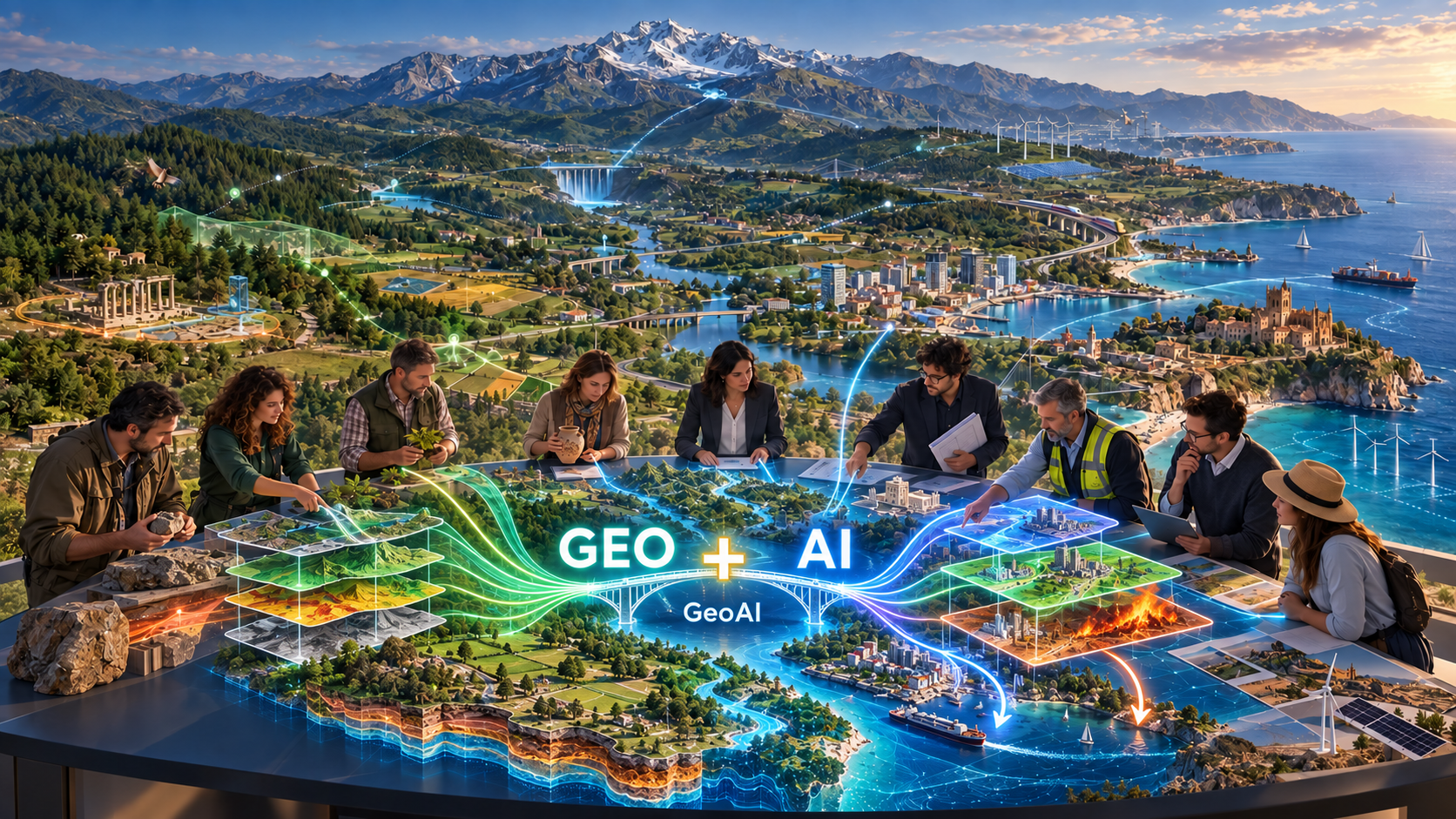
Territories are changing faster than the models traditionally used to understand them. Adding new technologies to established approaches is no longer enough: a new educational paradigm is needed to bring together disciplines, data and artificial intelligence.
Different disciplines. One shared territory. A new geospatial intelligence.
Territory is where environment, society and economy meet. Its transformations cannot be understood through a single discipline or addressed through isolated skills. Each student enters the programme with their own expertise; everyone learns to connect it through geospatial data, Earth and environmental sciences, and artificial intelligence.
A multidisciplinary community
Your discipline becomes part of a broader perspective
You will not be asked to leave your previous education behind. You will learn to connect it with other fields through the study of territory.
Our mission
Territories are changing. Learn to understand change before being overtaken by it.
Climate, extreme events, urbanisation and pressure on resources are reshaping the places where we live. Understanding these changes in time means protecting communities, economies and the future.
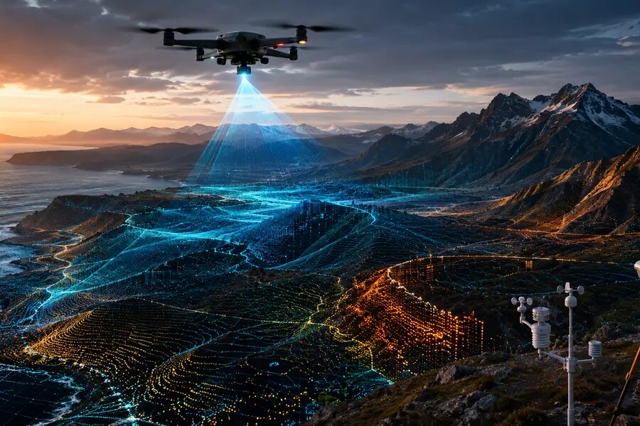
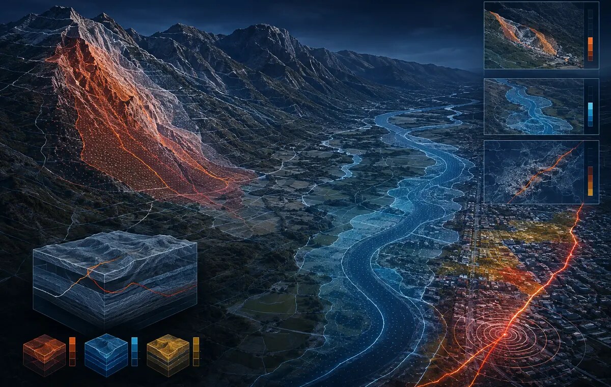
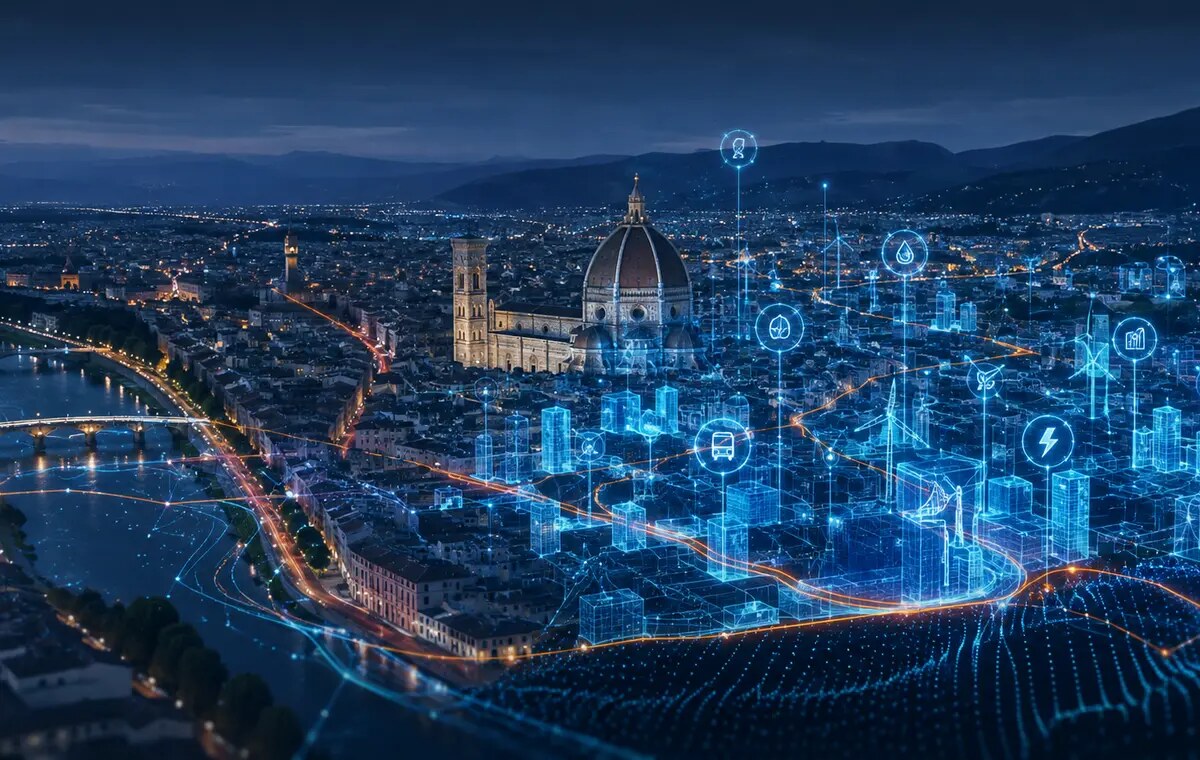
The GeoAI Master’s Programmes train professionals to integrate satellite observations, sensors, GIS and artificial intelligence in order to interpret change, anticipate its impacts and develop practical responses.
01
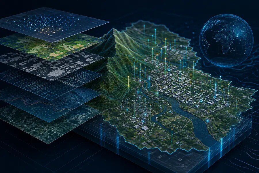
Observe
Satellites, drones, sensors and monitoring networks detect change.
02
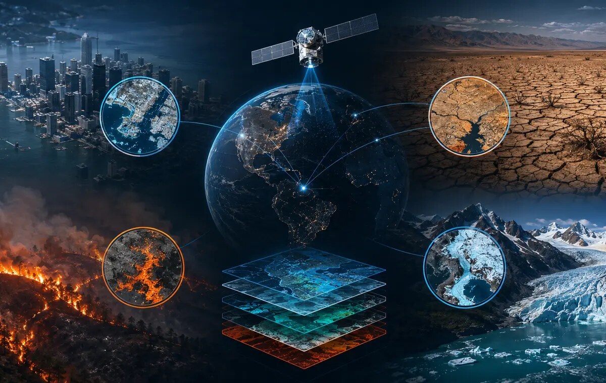
Understand
Environmental, territorial, climate and economic data become knowledge.
03
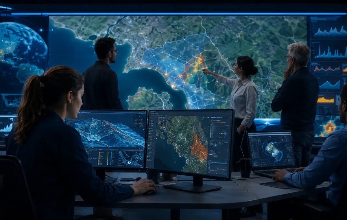
Anticipate
AI, machine learning and scenarios help anticipate impacts and vulnerabilities.
04
Decide
Analyses and models support action, policy and adaptation strategies.
Two outstanding programmes
First-level University Master’s Programme · First edition · Online
GeoAI, GIS e Applicazioni Geospaziali
Build a solid foundation and become operational: collect and organise geodata, use GIS and sensors, and apply AI to real territorial challenges.
Professional profiles: GIS technician, geospatial analyst, geodata specialist, surveying and monitoring technician. Choose this programme if: you hold a bachelor’s or master’s degree and wish to enter the field or progressively update your skills. Discover what you will learn and the connections with the GeoAI network → Second-level University Master’s Programme · Second edition · Blended GeoAI, Intelligenza Artificiale, Sistemi GIS e GeoapplicazioniMove beyond the use of individual tools: design GeoAI models, platforms and solutions, from satellite observation to decision support.
Professional profiles: GeoAI specialist, geospatial data scientist, remote sensing/ML analyst, geospatial AI engineer. Choose this programme if: you hold an Italian master’s degree, an equivalent second-cycle qualification or a pre-reform Italian degree, and seek advanced training with laboratories, an on-site Summer School, an internship and a GeoAI Project. Explore the advanced programme and its opportunities →From education to employment
From advanced education to professional opportunities
A broad network of companies, research organisations, institutions and professional bodies brings technologies, real cases and specialist expertise into the programmes. This is where education connects with internships, GeoAI Projects, professionals and the labour market.
-
 3D Target
-
 3G Consulting
-
 ADPM Tech
- STONEX Stonex
-
 Indra Italia
-
 BIMON
-
 Consiglio Nazionale Geometri e Geometri Laureati
-
 Consiglio Nazionale degli Ingegneri
-
 Consiglio Nazionale dei Geologi
-
 DXC Technology
-
 Esri Italia
-
 Federazione Nazionale Chimici e Fisici
-
 CMCC
-
 INGV
-
 INVA
-
 ISPRA
-
 Kode
-
 Consorzio LaMMA
-
 Major Bit Consulting
-
 ND Survey
-
 Nexa Tree
-
 OverIT
-
 Parco Nazionale del Circeo
-
 Parco Regionale dell’Appia Antica
-
 TeamDev
-
 Terna
-
 Titan4
Why you can trust us
Experience that builds the professions of tomorrow
Since 2001/2002, the Department has delivered more than twenty editions of postgraduate GIS education. The successful first edition of the second-level GeoAI programme led to an expansion of the initiative: a second edition of the advanced programme and a new first-level programme, also open to holders of a bachelor’s degree.
More than knowledge: skills for real projects
You will learn through software, data, laboratories, case studies and projects within a network of more than 25 companies, research organisations and institutions.
Work with real data
Organise geodata and use GIS, satellite imagery, sensors and surveying tools.
Use AI methodically
Apply machine learning, automation and conversational AI while assessing the quality and reliability of results.
Create professionally valuable outcomes
Address cases involving the environment, climate, risk, infrastructure, cities and cultural heritage.
The programmes
Choose the right level for your future
GeoAI, GIS e Applicazioni Geospaziali
A progressive programme from GIS fundamentals to GeoAI applications, also open to bachelor’s graduates.
4 modules
312 teaching hours
€ 4.000
in two instalments
35 places
maximum expected
Online
possible on-site activities
GeoAI, Intelligenza Artificiale, Sistemi GIS e Geoapplicazioni
Advanced specialisation with laboratories, a Summer School, an internship and a GeoAI Project.
7 modules
364 teaching hours
€ 6.000
in two instalments
25 places
maximum expected
Blended
online and on site
Make an informed choice
Which programme is right for you?
The two programmes share the GeoAI vision but address different starting points and professional goals.
| Feature | First level | Second level |
|---|---|---|
| Admission qualification | Bachelor’s or master’s degree | Master’s degree or pre-reform Italian degree |
| It is right for you if | You want to build solid foundations or redirect your professional profile | You want to specialise in designing advanced solutions |
| What you will be able to do | Manage and analyse geodata, use GIS and sensors, and automate workflows | Design GeoAI models, predictive analyses and decision-support systems |
| Teaching hours | Online, with possible on-site activities | Blended, with laboratories and seminars |
| Final experience | Dissertation / project | Company internship and dissertation / GeoAI Project |
| Duration | 15/02/2027–28/02/2028 | 15/02/2027–28/02/2028 |
Governance of the GeoAI Master’s Programmes
Academic responsibility and technical-scientific coordination
Both programmes are governed by the Department of Science at Roma Tre University.
Prof. Guido Giordano
Department of Science · Roma Tre University
Dott. Alessandro Cecili
Department of Science · Roma Tre University
Next step
Unsure which programme is right for you?
Contact the programme office to check admission requirements and the suitability of your profile. Applications must be submitted through GOMP by 15 January 2027.
Official Department of Science links