

← The two programmes
Second-level University Master’s Programme · Second edition · Academic Year 2026/2027
GeoAI, Intelligenza Artificiale, Sistemi GIS e Geoapplicazioni
Move beyond the use of individual tools: design GeoAI models, platforms and solutions capable of interpreting complex scenarios and supporting real decisions.
Delivery mode
Blended
Credits
60 CFU
Teaching hours
364 hours
Places
10–25
Tuition fee
€ 6.000

Programme overview
Specific learning objectives
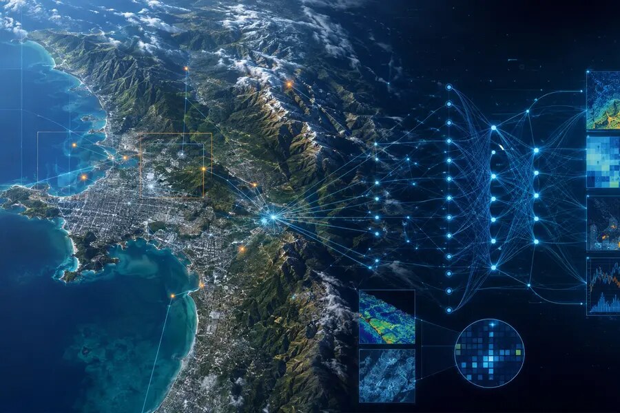
GeoAI, or Geospatial Artificial Intelligence, integrates artificial intelligence, machine learning, geographic information systems and geospatial data. The Master di secondo livello in GeoAI, Intelligenza Artificiale, Sistemi GIS e Geoapplicazioni (second-level University Master’s Programme in GeoAI, Artificial Intelligence, GIS Systems and Geo-applications) is intended for master’s graduates, professionals and technicians seeking advanced skills in the management, analysis, acquisition and interpretation of territorial data.
The curriculum guides students from advanced GIS use to the application of GeoAI tools and the analysis of real cases. Its modular structure clarifies the educational offer, distinguishes the different learning levels and emphasises the programme’s applied and technical components.
The GeoAI Master’s Programme is the natural evolution of the first- and second-level GIS Master’s programmes delivered for more than 20 editions, initially by the Department of Geological Sciences and subsequently by the Department of Science, beginning in the 2001–2002 academic year under the following official titles: “GIS per la Pianificazione Territoriale” (first level); “GIS e Telerilevamento per la Pianificazione Geoambientale” (second level); and the interdepartmental second-level “Master Digital Earth e Smart Governance. Strategie e strumenti GIS per la gestione dei beni territoriali e culturali”.
The programme is intended for recent graduates, professionals, public administrators, managers and specialist technicians in the private and public sectors who develop initiatives concerning territorial and infrastructure monitoring in a rapidly changing environment.
Pervasive AI acts as a catalyst for the established capabilities of GIS in the complex management of territories.
Upon successful completion, participants receive
- Second-level University Master’s Diploma
- Certificate of attendance
- Syllabus of the core courses and modules attended
Skills developed
Technical and professional skills covered by the programme
- Advanced use of GIS integrated with AI and machine learning.
- Management and analysis of geospatial data using machine-learning algorithms.
- Advanced use of ESRI technologies and other GIS and AI software platforms.
- Prompting applications using AI models to support analysis, decision-making and automation.
- Analysis of satellite data and development of AI models for Earth observation.
- Exploration of alternative and innovative software for geospatial AI and machine learning, focusing on cloud-native and open-source tools.
Curriculum
Seven modules · 60 CFU · 364 hours
The Master di II livello in GeoAI, Intelligenza Artificiale, Sistemi GIS e Geoapplicazioni is organised into seven teaching modules, for a total of 60 CFU including the final examination. The curriculum progressively guides students from GIS foundations to the integrated application of GeoAI tools in real settings. It provides 364 hours of lectures and laboratory teaching.
Module 1Fundamentals of GIS and Artificial Intelligence 9 CFU · 72 hours
Learning objectives: provide basic skills in GIS platforms and AI fundamentals, establishing a common language among participants.
- Introduction to Geographic Information Systems (GIS): Theory and Practice — 3 CFU, 24 hours
- Data Science: Geospatial Data Management — 2 CFU, 16 hours
- Introduction to Machine Learning for Geospatial Applications — 2 CFU, 16 hours
- Generative Artificial Intelligence — 2 CFU, 16 hours
Module 2Programming and Automation for GIS and AI 8 CFU · 64 hours
Learning objectives: develop advanced knowledge of complex spatial analysis and the digital representation of territories.
- Python for GIS and AI: advanced scripts for ArcGIS and open-source libraries (GeoPandas, Rasterio, PyTorch, TensorFlow) — 2 CFU, 16 hours
- Automation of geospatial workflows using scripting tools and APIs (ArcGIS API for Python, REST APIs) — 2 CFU, 16 hours
- Generative AI, REST APIs, programming, scripting and reporting. Automating GIS processes (e.g. script and report generation) with Generative AI — 2 CFU, 16 hours
- Spatial Analysis — 2 CFU, 16 hours
Module 3Machine Learning and Deep Learning for GIS 6 CFU · 48 hours
Learning objective: develop specialist skills in machine-learning and deep-learning models applied to geospatial data.
- Machine-learning algorithms for geospatial analysis: clustering, spatial regression and decision trees — 1 CFU, 8 hours
- Deep Learning for GIS: convolutional neural networks (CNNs) for satellite image interpretation and raster analysis — 2 CFU, 16 hours
- Pre-trained models for spatial analysis: YOLO, U-Net and applications in ArcGIS — 2 CFU, 16 hours
- Advanced Geospatial AI technologies: tools and approaches — 1 CFU, 8 hours
Module 4Geospatial Artificial Intelligence: AI applied to geospatial data 6 CFU · 52 hours
Learning objective: develop advanced knowledge of AI models for remote sensing, image analysis and AI-assisted interaction.
- Innovative cloud-native and open-source platforms for geospatial AI: a case study on geoarchaeological monitoring at Arslantepe — 2 CFU, 16 hours
- Raster processing and prediction techniques with QGIS: kriging applied to mining engineering and ML for land-consumption scenarios; advanced plugin use — 1 CFU, 8 hours
- Extraction of geological, mineral and geothematic data from historical geological maps using U-Net deep-learning algorithms — 1 CFU, 12 hours
- Comparison of proprietary technologies (e.g. ESRI) with emerging alternatives to foster a critical and diversified approach — 2 CFU, 16 hours
Module 5Satellite Analysis and Artificial Intelligence 3 CFU · 24 hours
Learning objective: Develop advanced knowledge of AI methods and tools applied to satellite imagery analysis.
- Predictive analysis and machine learning for spatial data — 1 CFU, 8 hours
- Satellite data sources: Sentinel, Landsat, PlanetScope and other platforms. Satellite imagery analysis with ML and AI: classification, change detection and prediction — 1 CFU, 8 hours
- Innovative cloud-native platforms for geospatial data management and satellite imagery processing — 1 CFU, 8 hours
Module 6Prompt Engineering and Conversational AI for GIS 2 CFU · 16 hours
Learning objective: Prompt engineering is the process of designing, writing and optimising instructions (prompts) supplied to generative AI systems. Its purpose is to guide AI towards precise, accurate responses in the required format while avoiding vague or incorrect results.
- Practical examples of using ChatGPT to support GIS project management — 1 CFU, 8 hours
- Automated generation of documentation and visualisations — 0,5 CFU, 4 hours
- Design of customised geospatial virtual assistants — 0,5 CFU, 4 hours
Module 7Advanced and Sector-Specific Applications 11 CFU · 88 hours
Learning objective: consolidate learning through advanced applications, case studies and technical surveying and monitoring tools.
- Advanced and sector-specific applications — 6 CFU, 48 hours
- Summer School — 5 CFU, 40 hours
Beyond the classroom
From advanced education to projects and professional relationships

On-site Summer School
40 hours in the Colline Metallifere area devoted to emerging technologies, field applications and interdisciplinary exchange.

Company internship
A curricular internship working on real processes, data and problems at companies and organisations in the GeoAI network.
Discover participating companies and organisations →
GeoAI Project
A project-based dissertation agreed with a Roma Tre academic and connected to the skills developed.
Admissions
Requirements, selection and prior knowledge
Application deadline: 15 January 2027. Applications must be submitted through GOMP. Applicants are kindly asked to notify mastergeoai@uniroma3.it once their application has been submitted. Late applications will be assessed individually.
The programme is open to holders of an Italian master’s degree, an equivalent second-cycle qualification or a pre-reform Italian degree in subject areas consistent with its profile, including: Archaeology; Architecture; Biology; Conservation of Cultural Heritage; Geography; Environmental and Territorial Engineering; Humanities; Territorial and Urban Planning; Design and Management of Tourism Systems; Economics; Natural Sciences; Agricultural Science and Technology; Agricultural Sciences; Environmental Sciences; Forestry; Geological Sciences; Tourism Sciences; History and Conservation of Architectural and Environmental Heritage; History and Conservation of Cultural Heritage; Historical Sciences; and Urban Planning.
The Programme Board may consider qualifications other than those listed above. Basic knowledge of GIS and relevant IT certifications are preferred qualifications.
Admission, up to the stated maximum number of places, is subject to a ranking prepared by a committee comprising the Programme Director and at least two members of the Programme Board, based on the applicants’ academic record, professional and research experience, and submitted documentation.
Credits earned in previous university studies cannot be recognised for the purpose of reducing the programme requirements or tuition fees.
10–25 students
12 months including the three-month internship
60 CFU in total
Italian language of instruction
Teaching mode: the programme is delivered in blended mode, with on-site and remote learning activities, on-site and online seminars, laboratories and curricular internships. Attendance is compulsory and must be recorded through students’ signatures or the lecturer’s register. Auditors are not admitted.
Tuition fees and possible exemptions
Total amount: € 6.000, divided into two instalments of € 3.000: the first due by 30 January 2027 and the second by 15 June 2027.
- No full tuition-fee exemption is available for students with a documented disability of 66% or more. Students with a documented disability of 66% or more pay half of the total tuition fee (€ 3.000), plus stamp duty and the diploma fee.
- Tuition-fee concessions of up to 20% are available to members of professional bodies and employees of partner companies and organisations.
- Fee reductions are available to those who previously attended individual courses from the former distance-learning first-level programme, subject to assessment of their curriculum by the Programme Board.
- Subject to adequate funding, the Programme Board may offer scholarships that partially reimburse tuition fees for deserving students.
- The programme participates in the Executive University Master’s scheme promoted by INPS, in accordance with the requirements issued annually by INPS.
The reductions referred to in points 2 and 3 cannot be combined.
Career opportunities
Professional roles and fields of work
The GeoAI programme continues the previous editions of the GIS programme and is connected with leading companies in the sector, public bodies and research institutions through institutional agreements and scientific collaboration.
For this reason, the programme includes a three-month internship at a company or organisation at the end of the taught component, considered essential for applying what has been learned.
Career opportunities include roles requiring technological expertise and the ability to design highly innovative initiatives, particularly in priority areas identified by European directives on territorial management and EU policies.
- Geodata scientist.
- GeoAI specialist.
- GeoAI engineer.
Interim and final assessments
Learning will be assessed throughout the programme through exercises and interim assessments.
At the end of the programme, students must write and defend a dissertation, in Italian or English, on a project agreed with at least one Roma Tre academic teaching on the programme. Attendance at a minimum of two thirds of the classes is required for admission to the final examination.
Governance and teaching staff
An interdisciplinary community
The second edition builds on the Department’s experience and on contributions from academics, researchers and external experts.
Prof. Guido Giordano
Department of Science · Roma Tre University
Dott. Alessandro Cecili
Department of Science · Roma Tre University
Interdisciplinary group
Sveva Corrado, Maurizio Cutini, Alessandro Vona, Laura Farroni, Ernesto Consiglio (OverIT), and adjunct lecturers.
FAQ
Before applying
What qualification is required?
A relevant Italian master’s degree, equivalent second-cycle qualification or pre-reform Italian degree is required. Other qualifications may be assessed by the Programme Board.
How is the programme delivered?
In blended mode, with online and on-site activities, seminars, laboratories and a curricular internship.
Are the internship and Summer School part of the programme?
Yes. The curriculum includes a 5-CFU internship and a Summer School within the advanced applications module.
What is the tuition fee?
€ 6.000 in two instalments of € 3.000, plus the applicable administrative charges.
15 February 2027 – 28 February 2028
Turn GeoAI into projects, decisions and impact
Blended teaching, laboratories, seminars, Summer School, internship and dissertation. Attendance is compulsory.